
Engineering | Research suggests collaborative disaster risk mapping as a strategy for more effective crisis management
*First published in April 30th, 2025
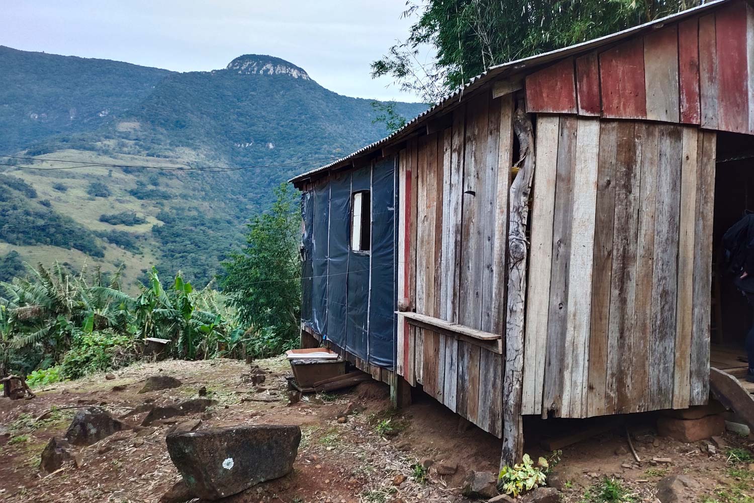
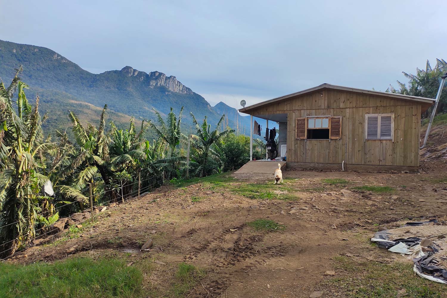
*Photograph: Quilombo São Roque (Photograph: Itzayana González/ Personal Archive)
A study carried out by Aliança Brasileira pela Cultura Oceânica (Brazilian Alliance for Ocean Literacy, in a free translation) shows that the incidence of climate-related disasters in the country has increased by 250% over the past four years. Between 1991 and 2023, 92% of municipalities were affected by these phenomena. Whether droughts, wildfires, floods, or storms, such extreme events raise concerns about how to prepare for disasters and mitigate their effects on the population.
In her doctoral thesis, researcher Itzayana González, who holds a Ph.D. in Water Resources and Environmental Sanitation from UFRGS, examines the increasing occurrence of floods in Rio Grande do Sul and suggests improvements to risk management strategies in the state’s rural communities. By analysing Mãe dos Homens Community and Quilombo São Roque, González noticed that current government strategies need to be redesigned to incorporate local and traditional knowledge, which could, for example, be used to map areas at risk of disasters.
“I did this research not only to make an academic contribution, but also to help improve these people’s understanding and quality of life”
Itzayana González
Making contact with local residents
Before outlining the most appropriate risk-management strategies for each group, González focused on understanding the territory, the local culture, and the local leaders. These communities are located along Mampituba river, on the border between the states of Rio Grande do Sul and Santa Catarina, and have occupied the region since the mid-20th century.
Mãe dos Homens Community was formed by European immigrant families, and it maintains its livelihood through agriculture, livestock, and logging. Quilombo São Roque, in turn, was founded by descendents of enslaved Africans and, to this day, agriculture remains the community’s primary economic activity.
After several visits, González administered a questionnaire to a member of each family. This allowed the researcher to gather information on residents’ perception of disaster risk and on the communities’ usual procedures before and after an extreme event.
The survey indicated higher vulnerability among residents of Quilombo São Roque. “It will take them longer to rebuild their homes or recover things that were lost compared to residents of Mãe dos Homens.”
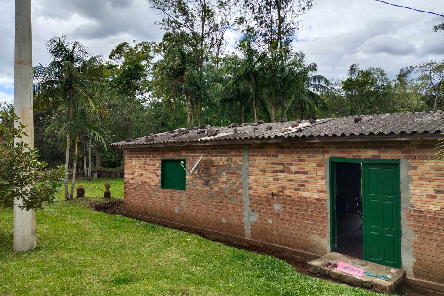
This vulnerability is influenced by a number of factors, including the community’s level of exposure, its susceptibility to disasters, and its capacity for recovery. In this case, compared to Mãe dos Homens Community, whose residents live in brick houses on floodplain areas, Quilombo São Roque is considered to be more vulnerable, as its houses are made of wood and located on hillside slopes.
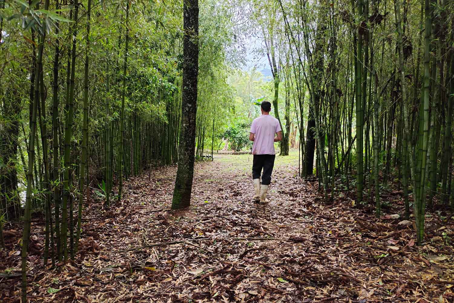
“Quilombo’s residents were rather used to floods. But changes in water color, strong odors, or unusual sounds were recognized as warning signs to leave their homes before they could be swept away”, explains González.
Mapping areas at risk of disasters
A disaster risk mapping was drawn up based on each community’s landform characteristics, such as altitude and slope, and drainage-network information, that is, natural or artificial systems that allow water to flow. Using this data, González classified each area according to its degree of flood susceptibility: high, medium, or low.
A disaster risk mapping was drafted collaboratively with Quilombo São Roque’s residents, who identified other locations that could be prone to flooding. However, this activity was not developed in Mãe dos Homens Community.
The local population was instructed to interpret flood extent maps and identify potentially hazardous and safe areas. During the 2024 floods, this map was also requested by the administration of the Aparados da Serra National Park to support the relocation of residents during the disaster.
Effective crisis management
For González, it is a mistake to think of climate-disaster prevention solely in terms of infrastructure. “That’s partly what happens here in Porto Alegre, for instance, because we have a levee. It’s good to have it, of course, but infrastructure measures such as this one should go hand in hand with disaster prevention and preparedness within the community.”
For effective crisis management outside urban areas, it is essential to understand rural communities’ financial and psychological preparedness for such events, as well as their culture and the ways in which these disasters affect their sense of identity. It is also necessary to identify whether people are aware of the institutions and social security services they can turn to.
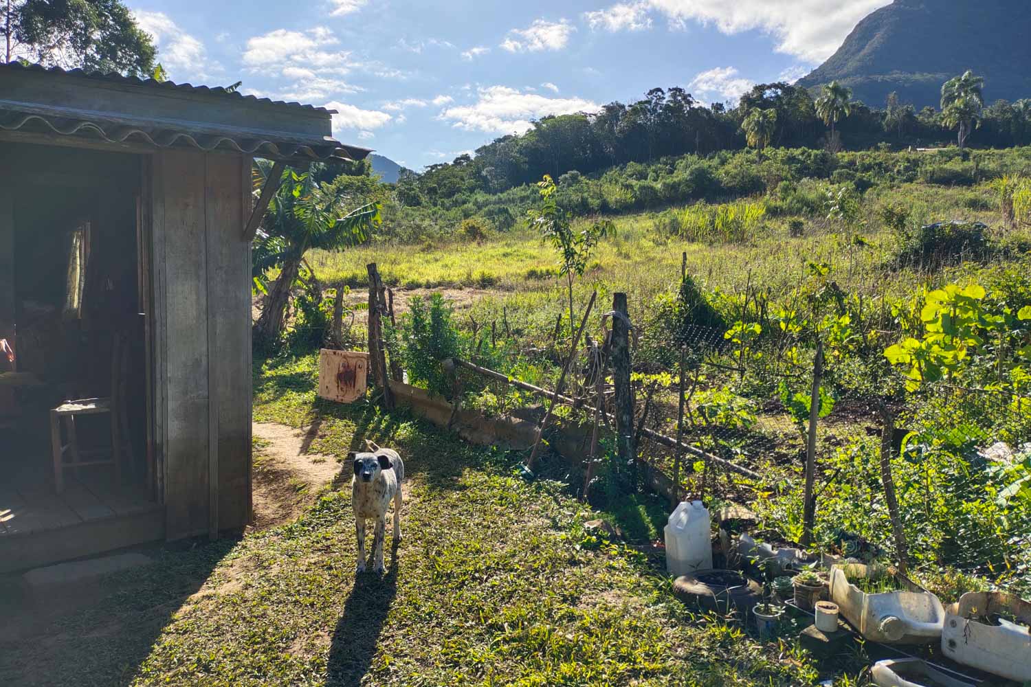
In Quilombo São Roque, for example, residents relied much more on local knowledge than on weather forecasts. That is why González highlights that the population should be instructed to understand climate change, interpret disaster risk maps, access institutions, and know how to proceed before and after an extreme climate-related event.
Thesis: Sociogeomorphological approach for disaster risk management in rural communities
Author: Itzayana González Ávila
Advisor: Masato Kobiyama
Program: Graduate Program in Water Resources and Environmental Sanitation of the Institute of Hydraulic Research
Translated into English by Flavia Cornely Rocha, undergraduate student enrolled in the course “Supervised Translation Training II (English)” of the Undergraduate Program in Language and Literature, under the supervision and translation revision of Professor Rozane Rebechi (P.h.D.) – IL/UFRGS.
:: Read in Portuguese
Prevenção de desastres climáticos em comunidades rurais deve considerar a cultura e os conhecimentos locais