Via: The South African
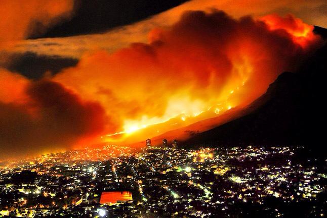
Satellite images from the European Space Agency’s (ESA) Sentinel-2 Earth observation mission add a new perspective to the widespread destruction caused by the Cape Town fire, which broke out on Sunday, 18 April and burned for three days. An area of approximately 622 hectares (6.22 square kilometres), which is represented by an ugly fire scar in the images, was destroyed by the Cape Town fire. The Cape Town fire was reportedly started by a vagrant near Table Mountain National Park and spread quickly. There was significant damage to buildings at the upper campus of the University of Cape Town (UCT) — where students were evacuated — and invaluable works housed in the special collections library were lost.
Read more here